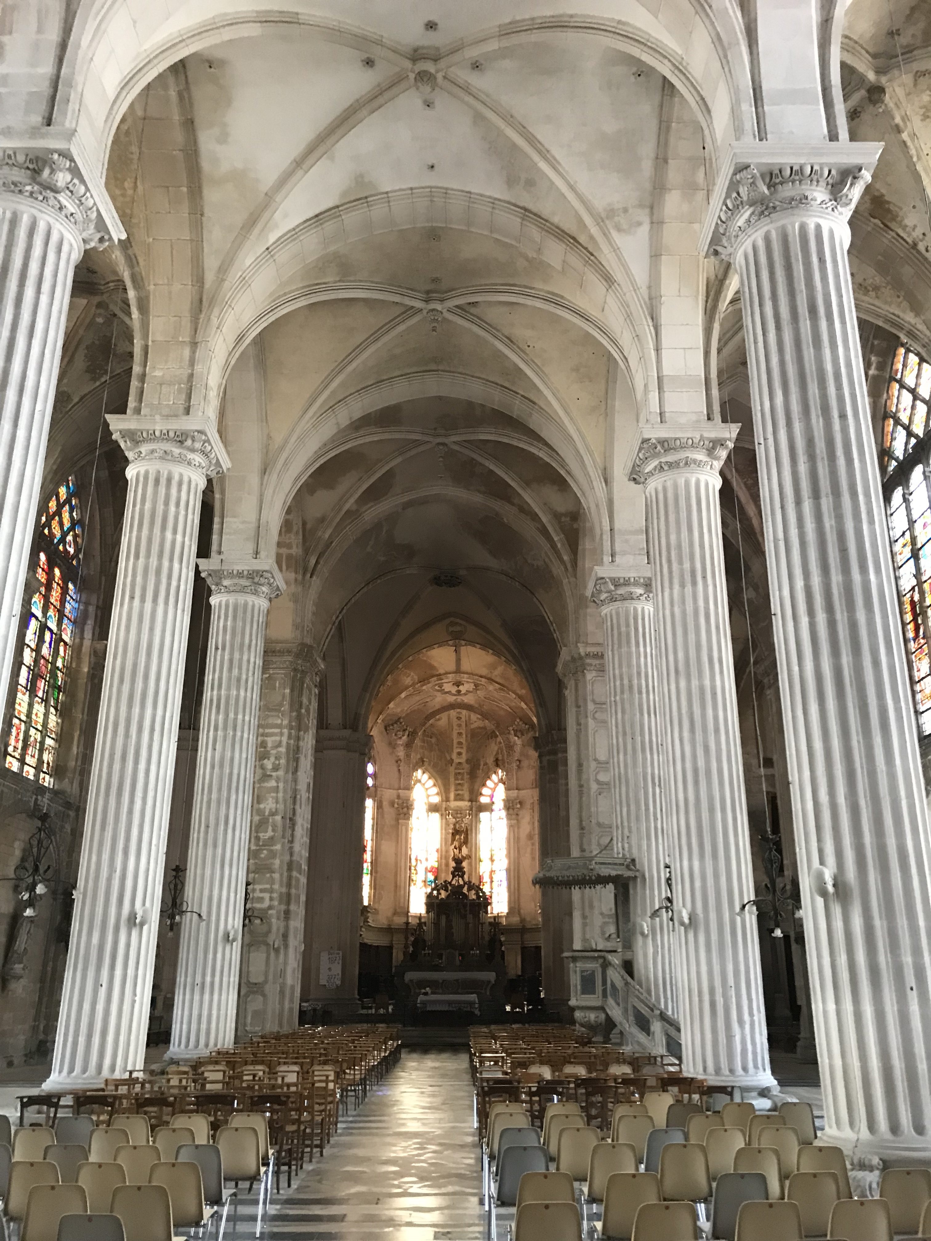
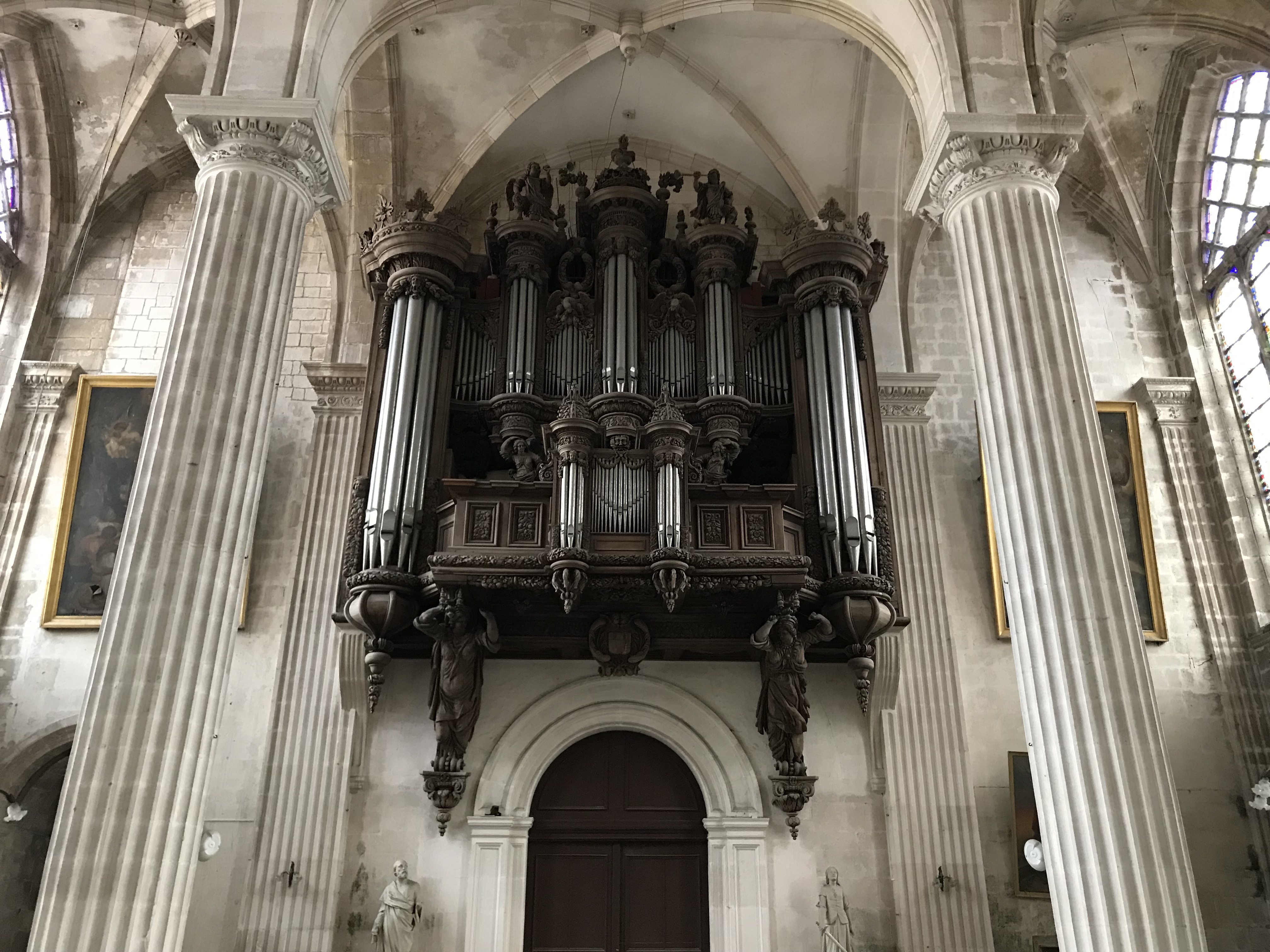
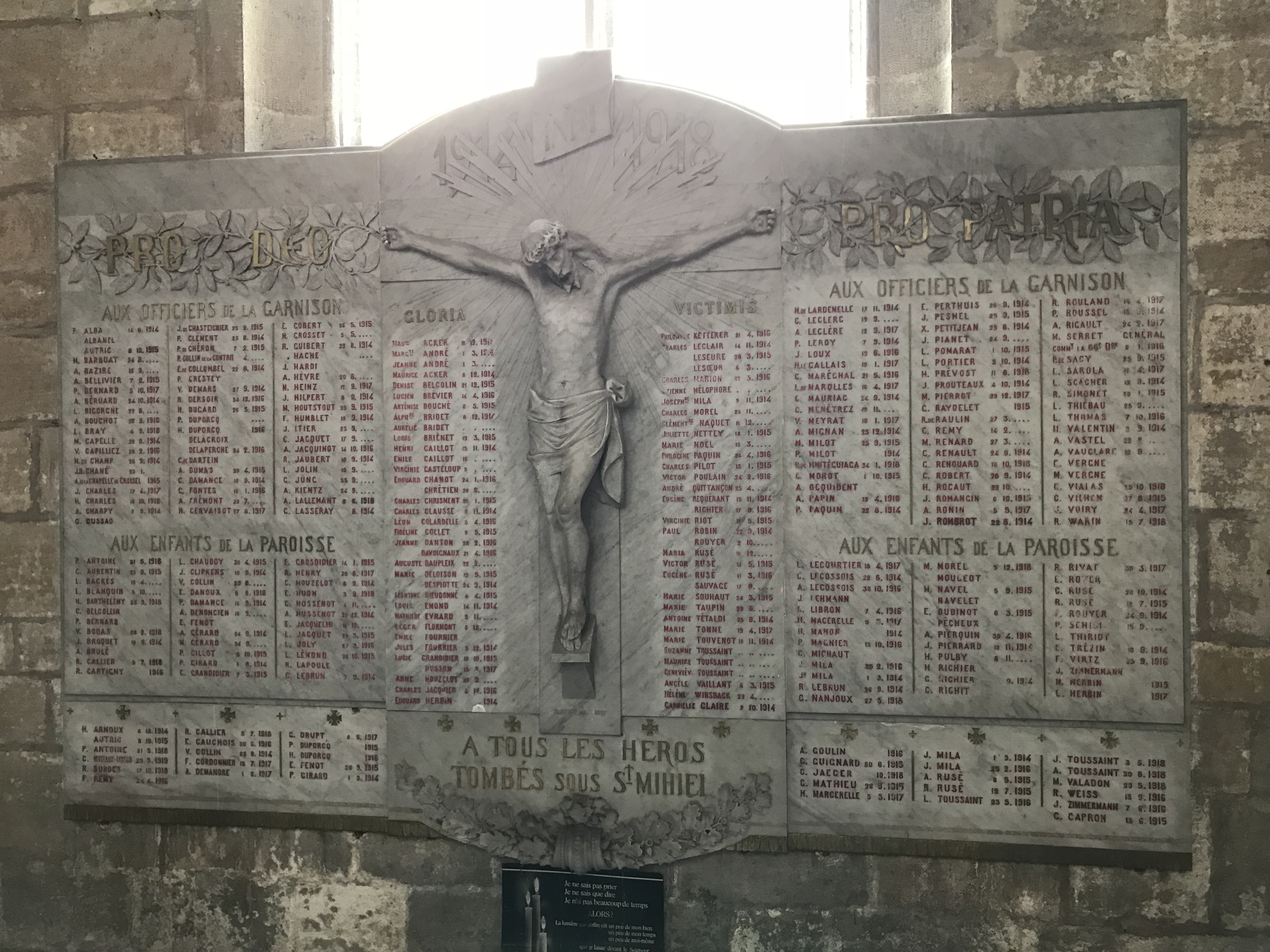
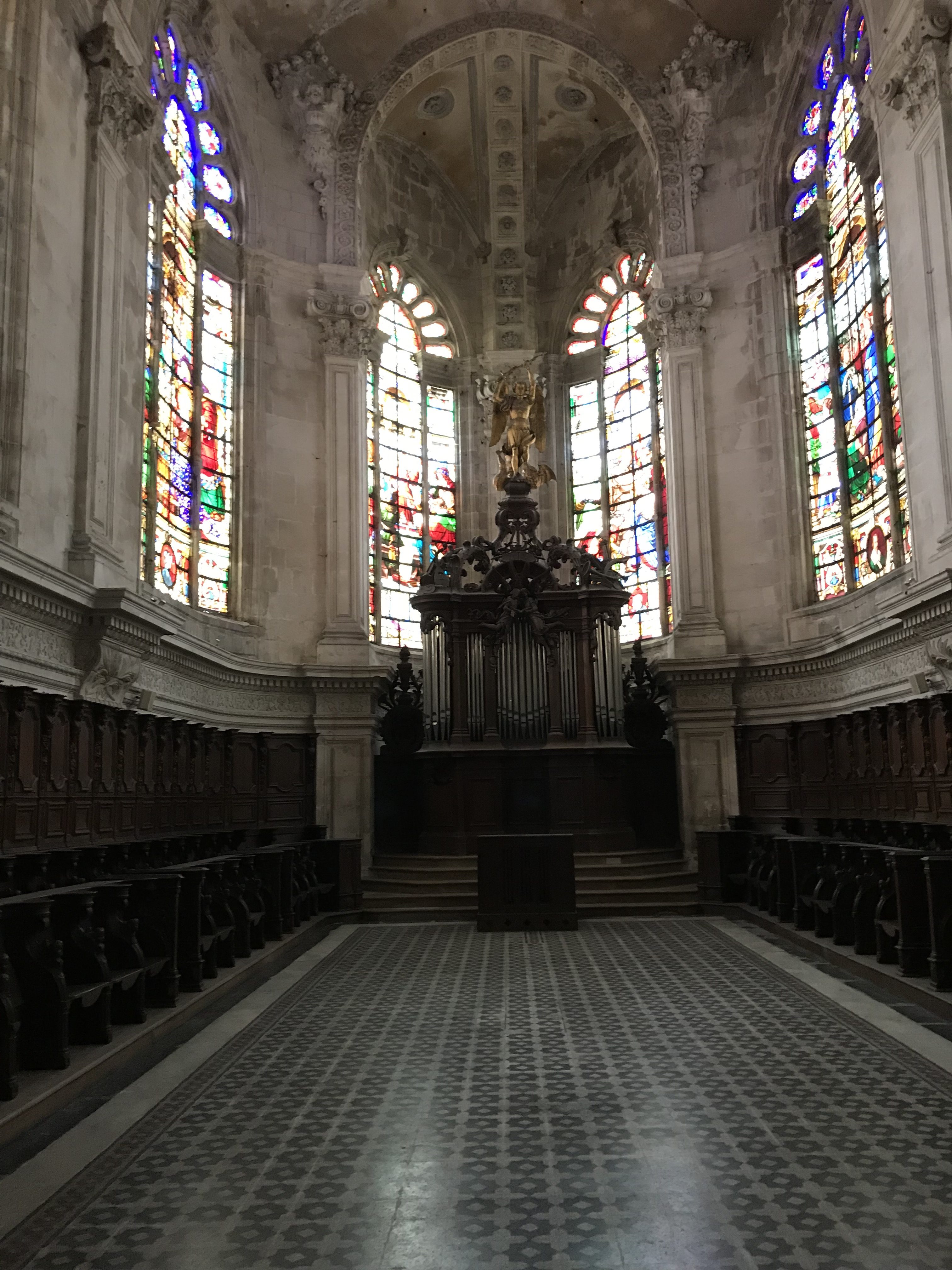
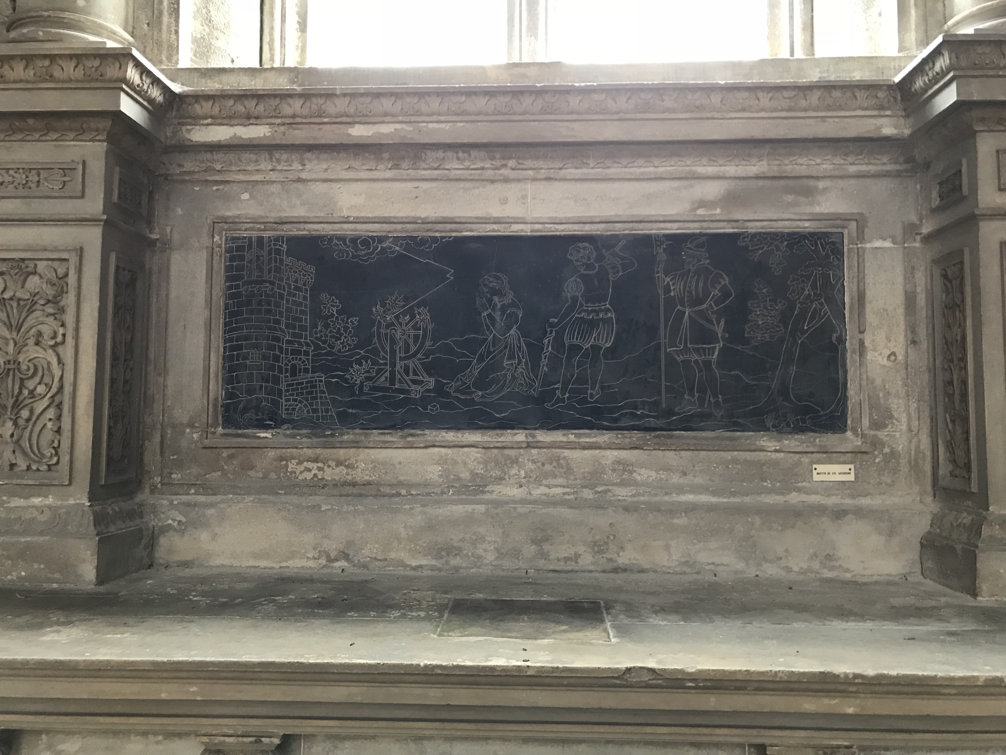
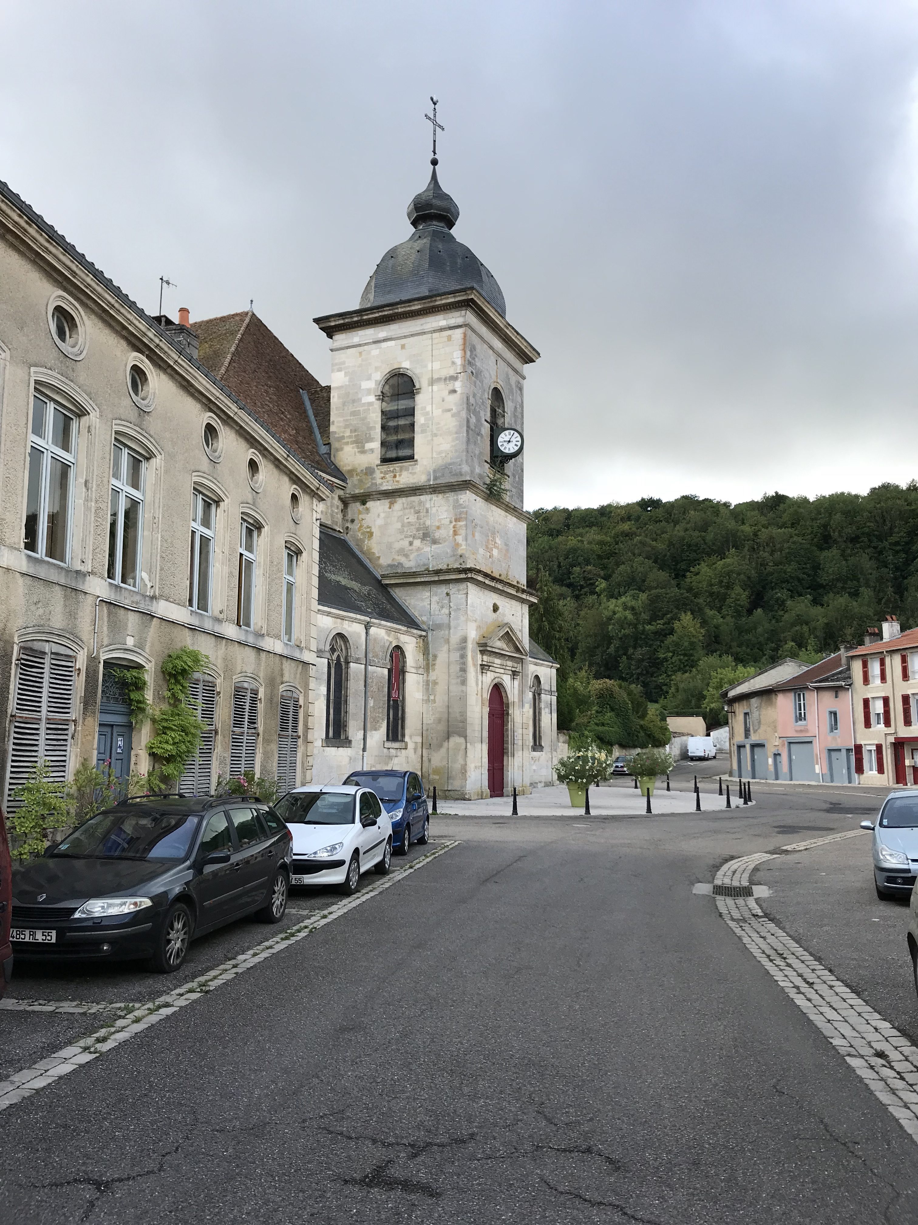
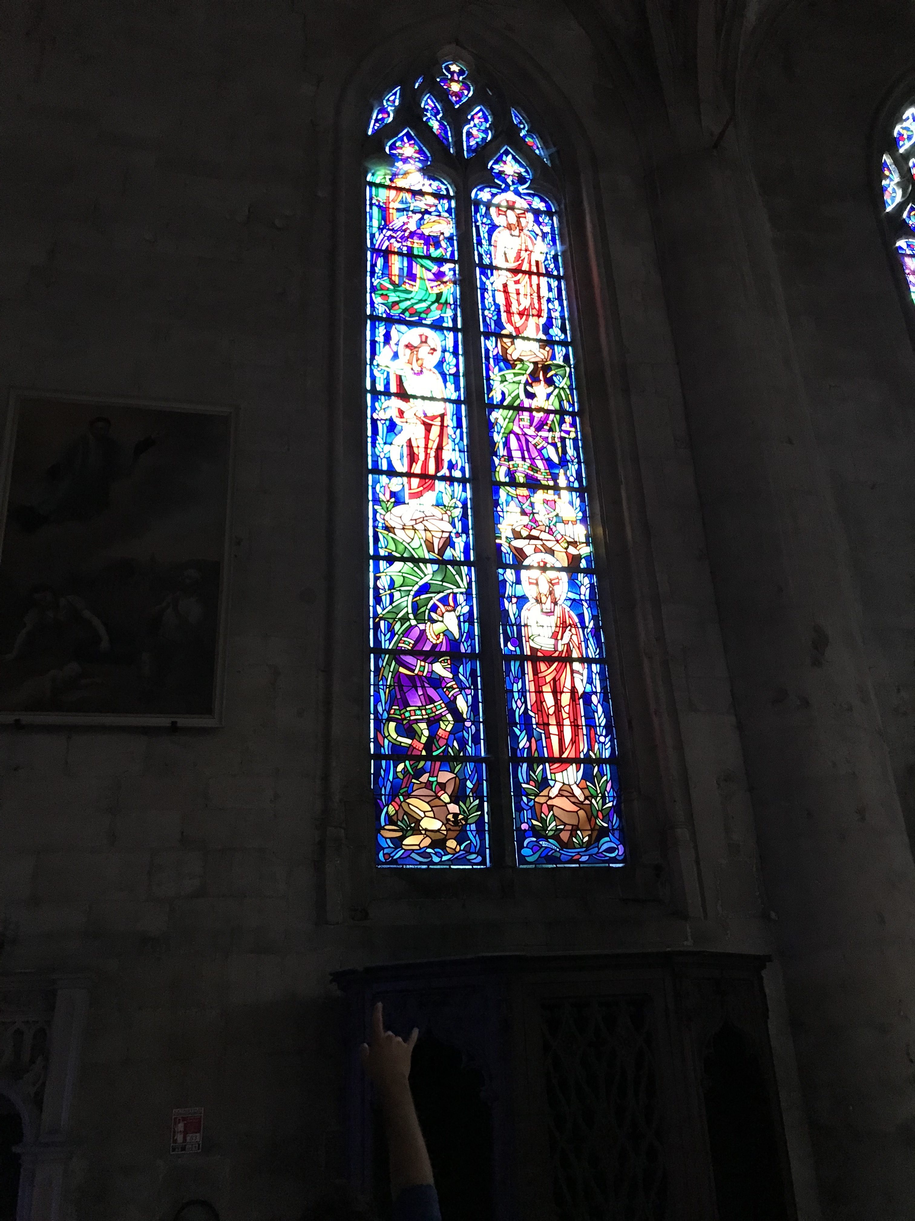
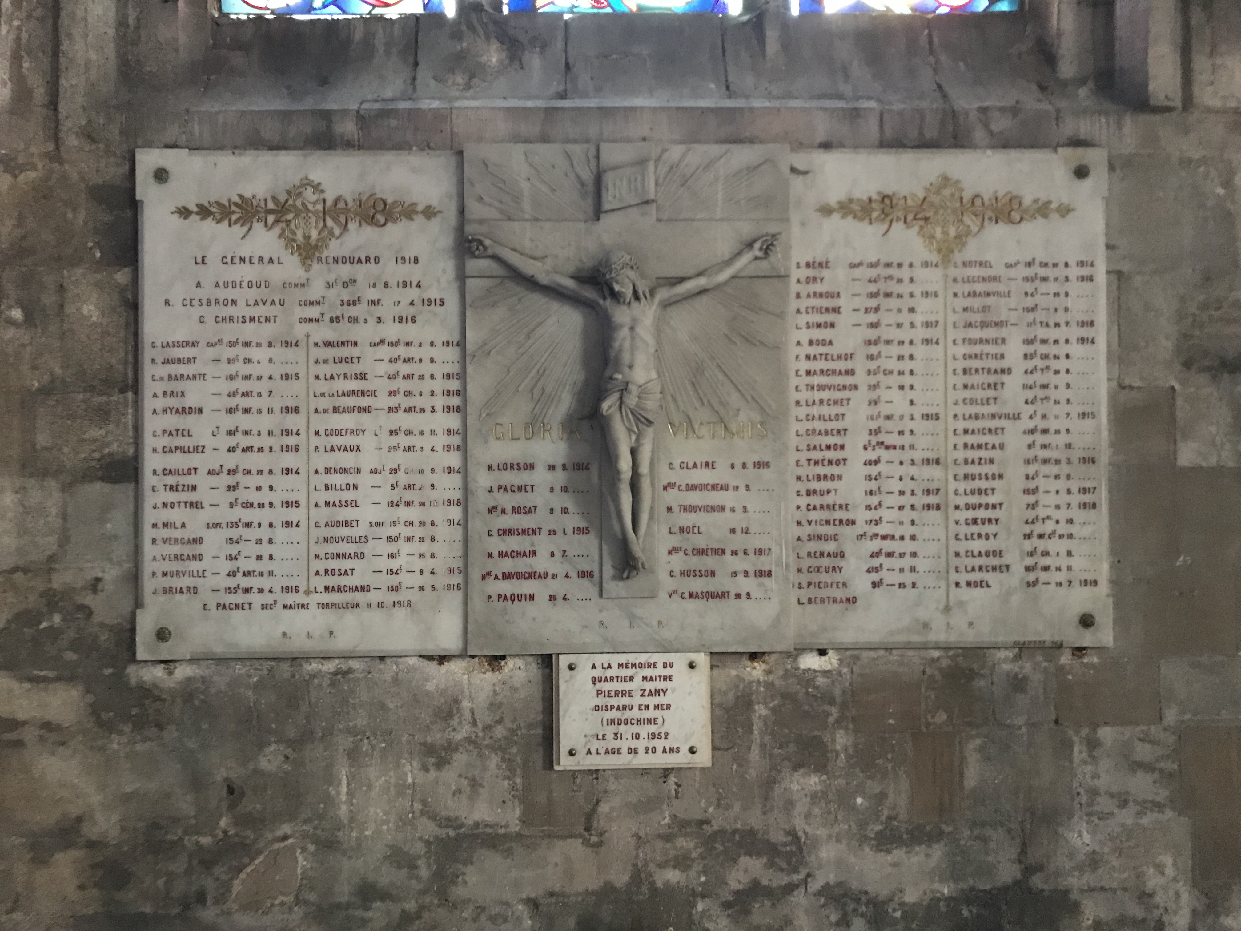
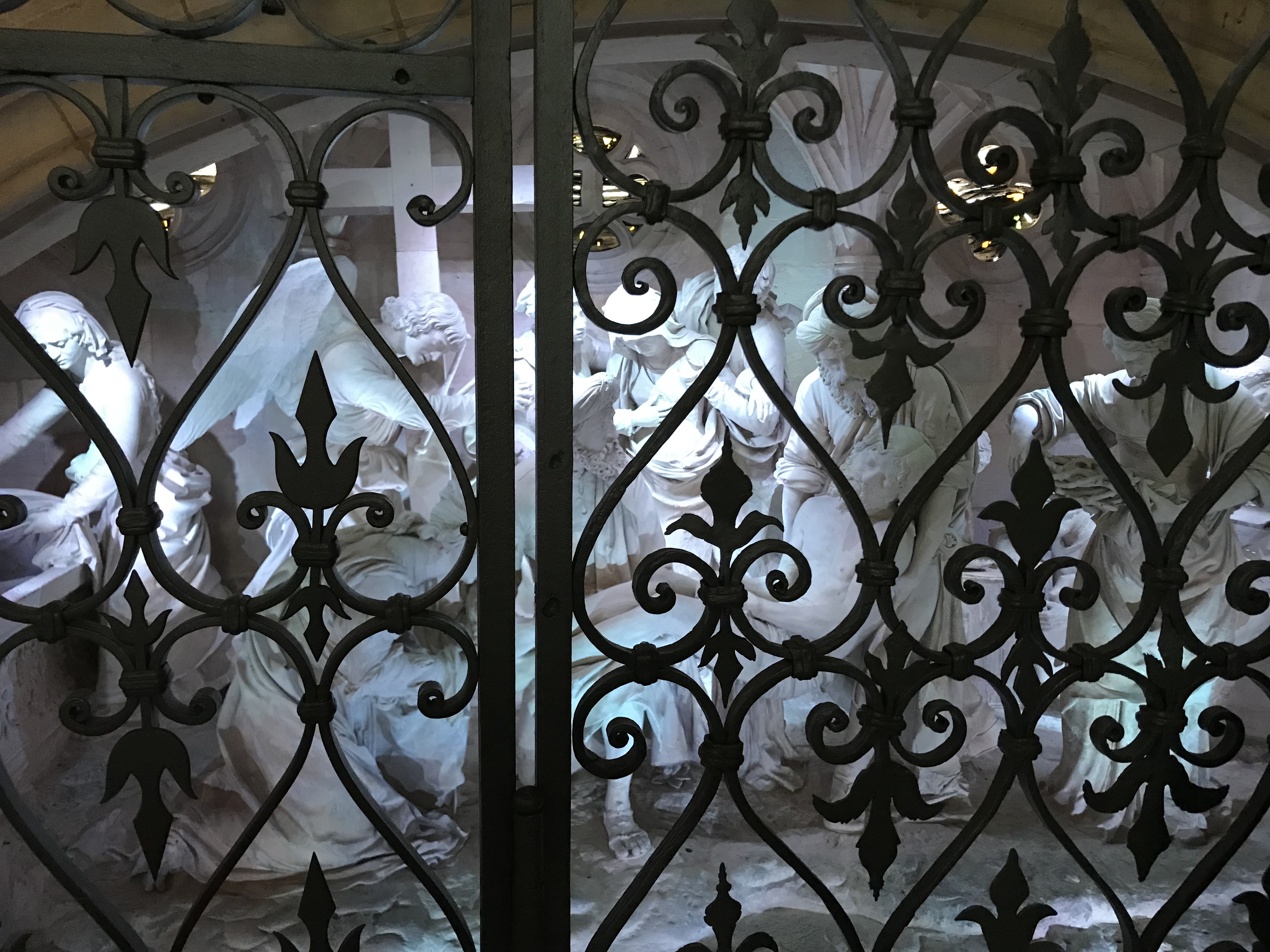
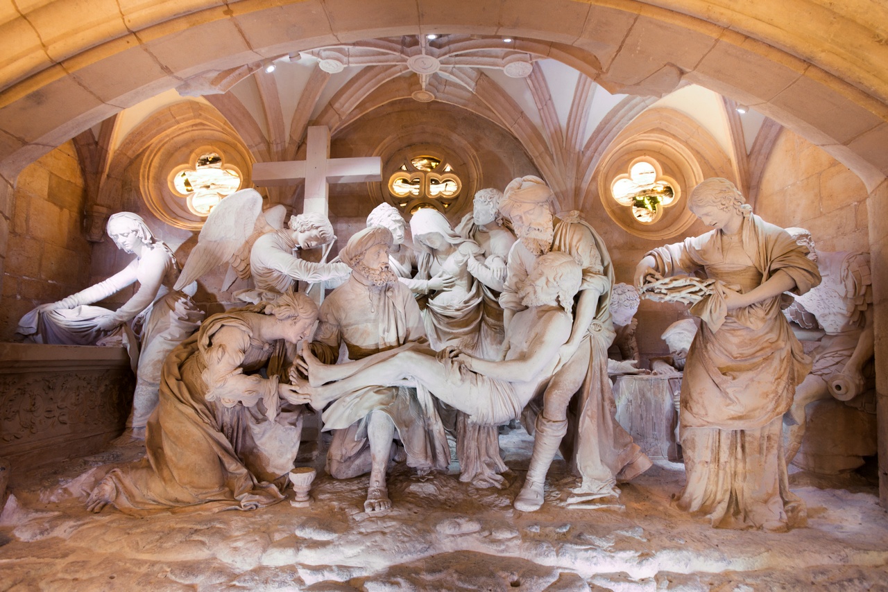
On the 10th of August, we had a truly remarkable day: a full day of battlefield tours with our guide Christophe and his daughter. We started in the town itself, visiting the medieval cathedrals of Saint Michel and Saint Etienne and then walking through the streets of this old city.
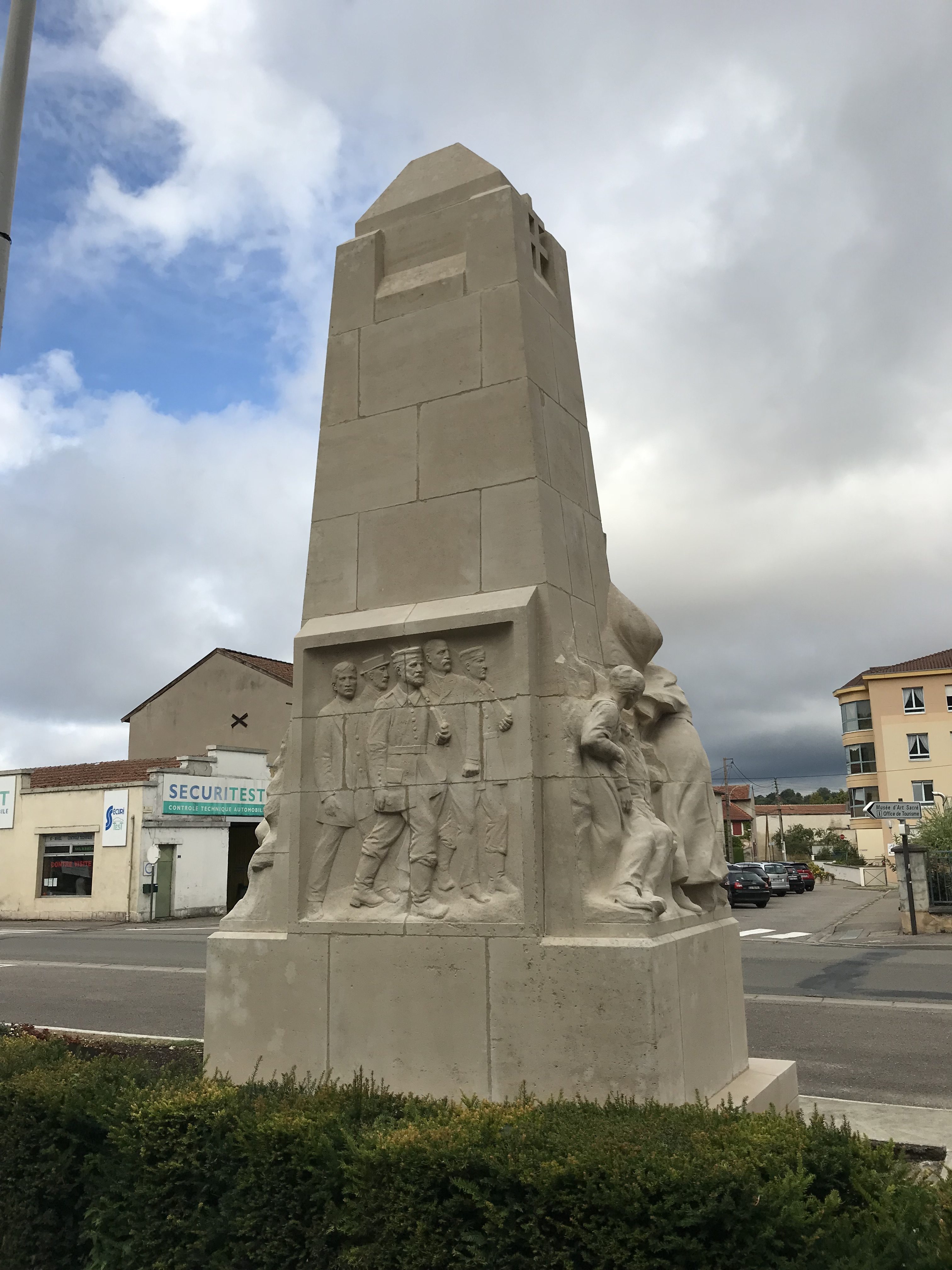
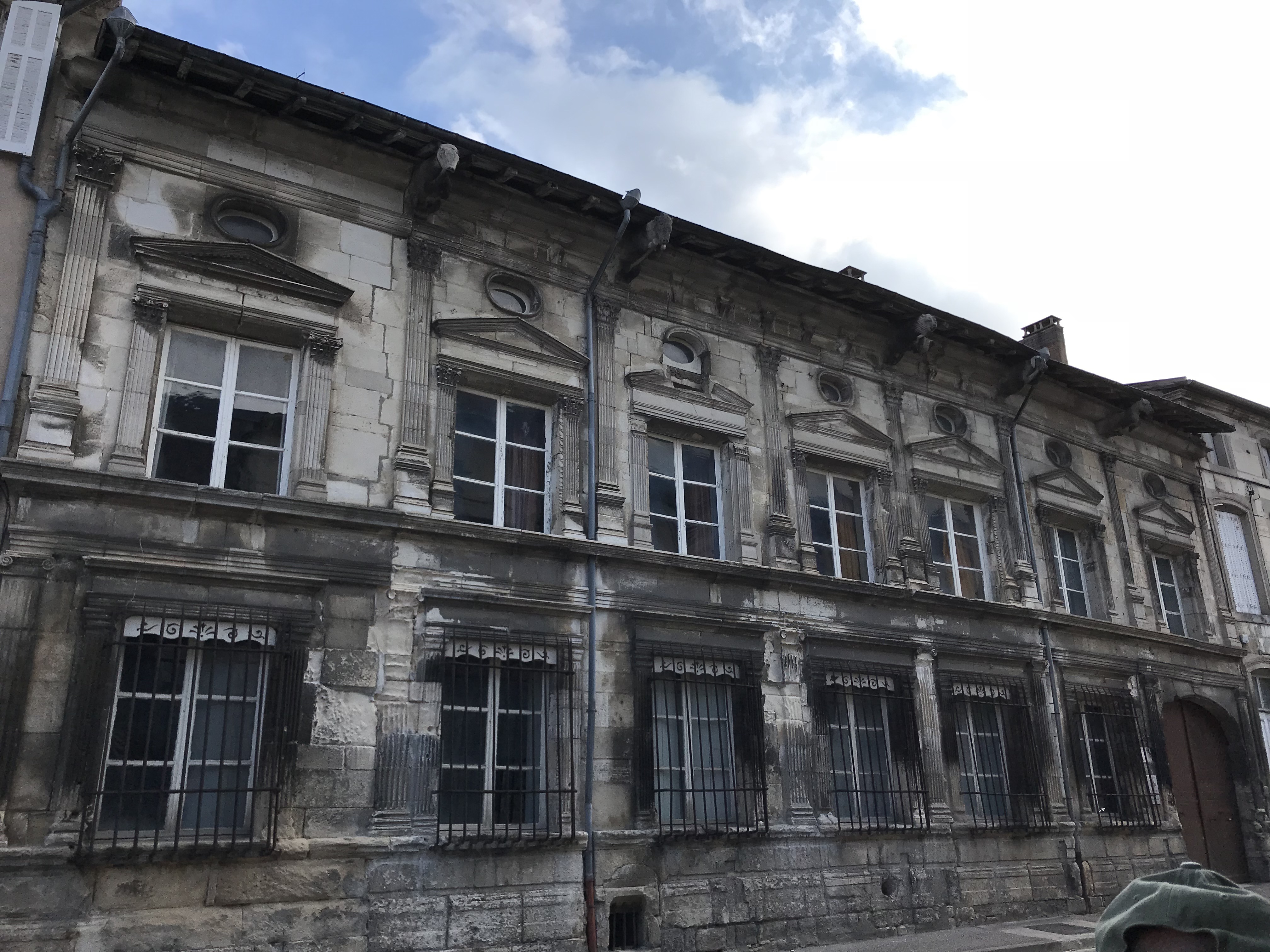
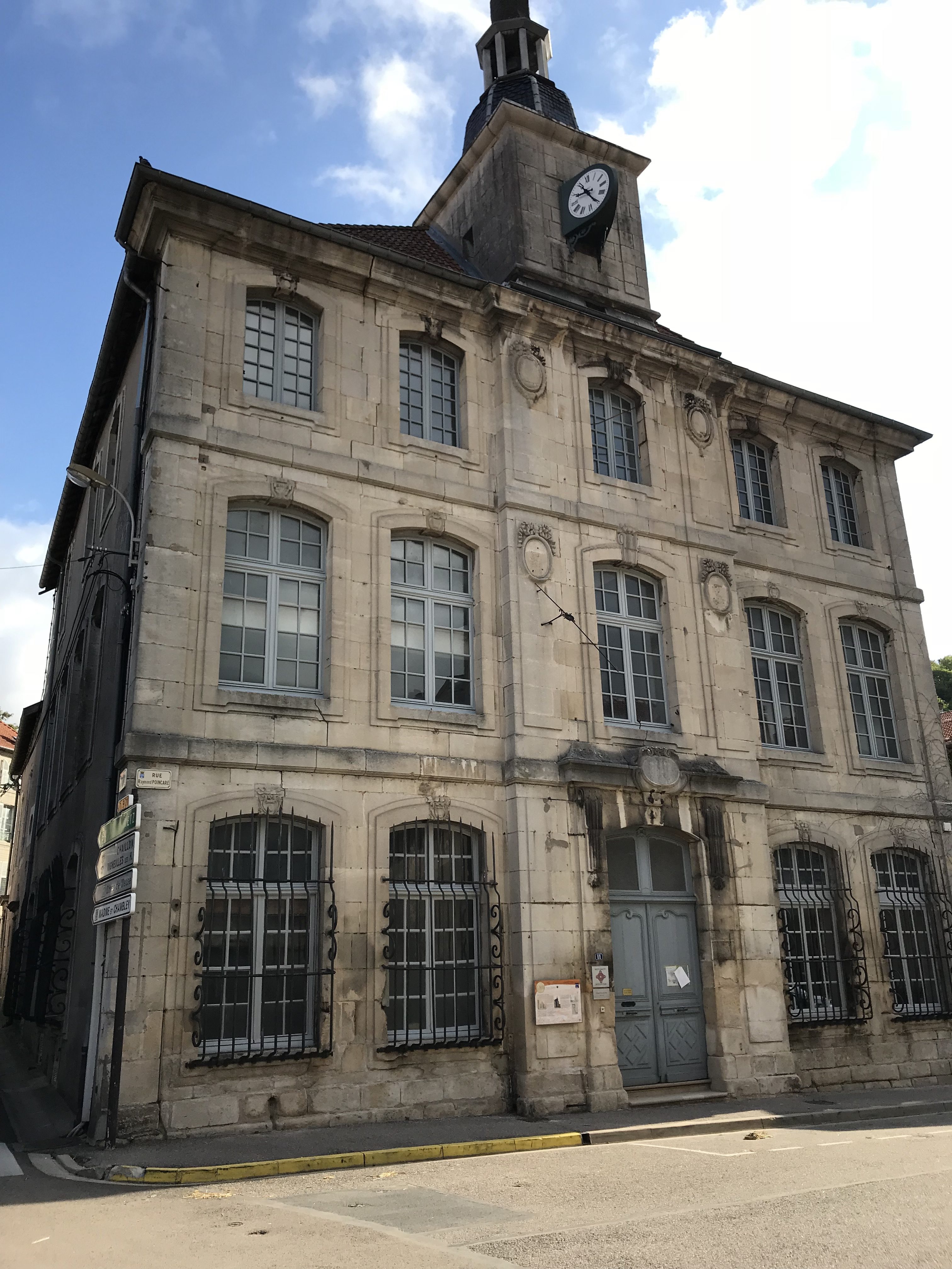
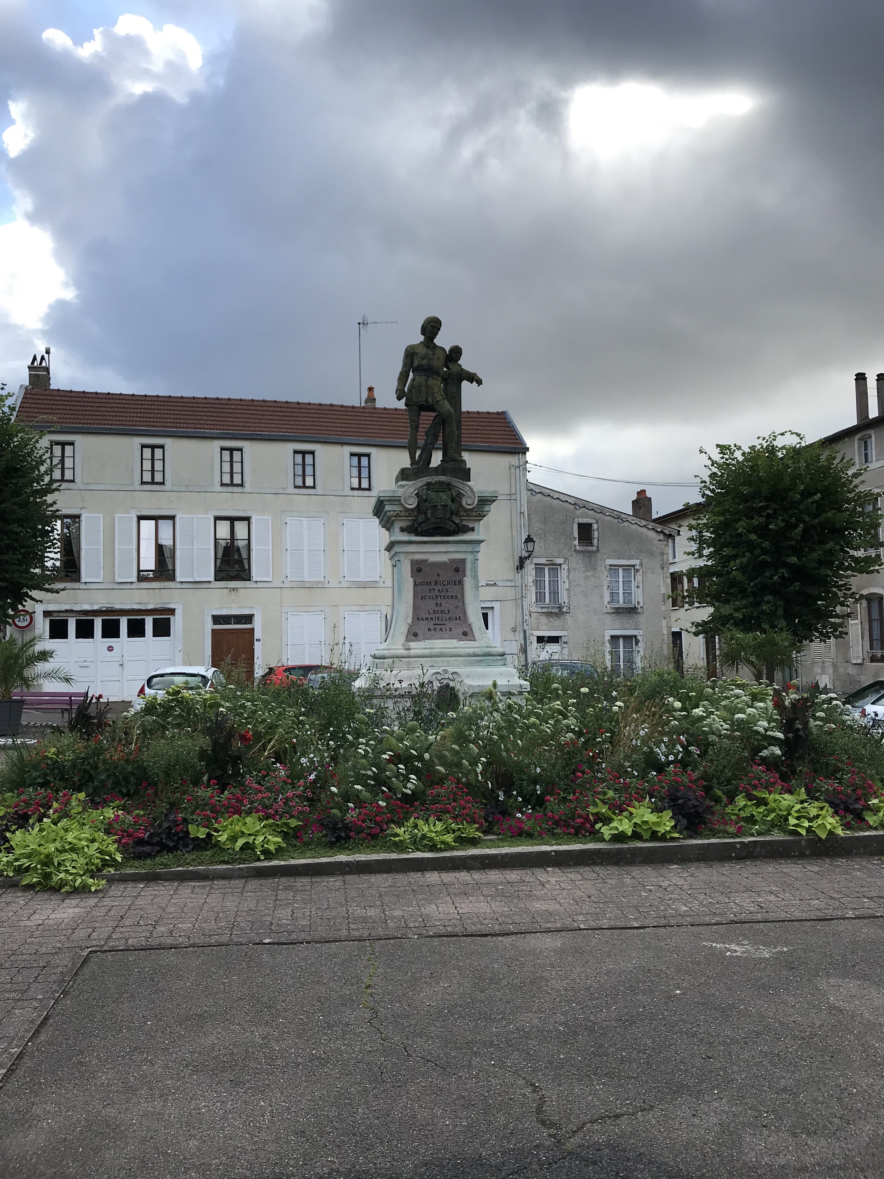
During our walk, Christophe stopped us frequently to show us several old buildings, many of which were connected to the First World War. He also showed us some interesting architecture along the way.
If you’ve never had a day’s tour with a guide, I highly recommend it–and I highly recommend Christophe and his American friend Mike who linked us up! These two gentlemen are incredibly knowledgeable on the Meuse region of France, and they will make your day as active as you want it to be. The attention Christophe and Mike gave to our day was nothing short of impressive: about a week ahead of time I started receiving emails with photos and maps of the St. Mihiel area in preparation for our visit. The day of the tour was a full day: visiting the city, and then heading out to get into the former front line trenches, dugouts, and machine gun nests.
There will be more posts (we took some 2,200 photos in France collectively over 10 days), but let’s get started with the sights from the town itself.
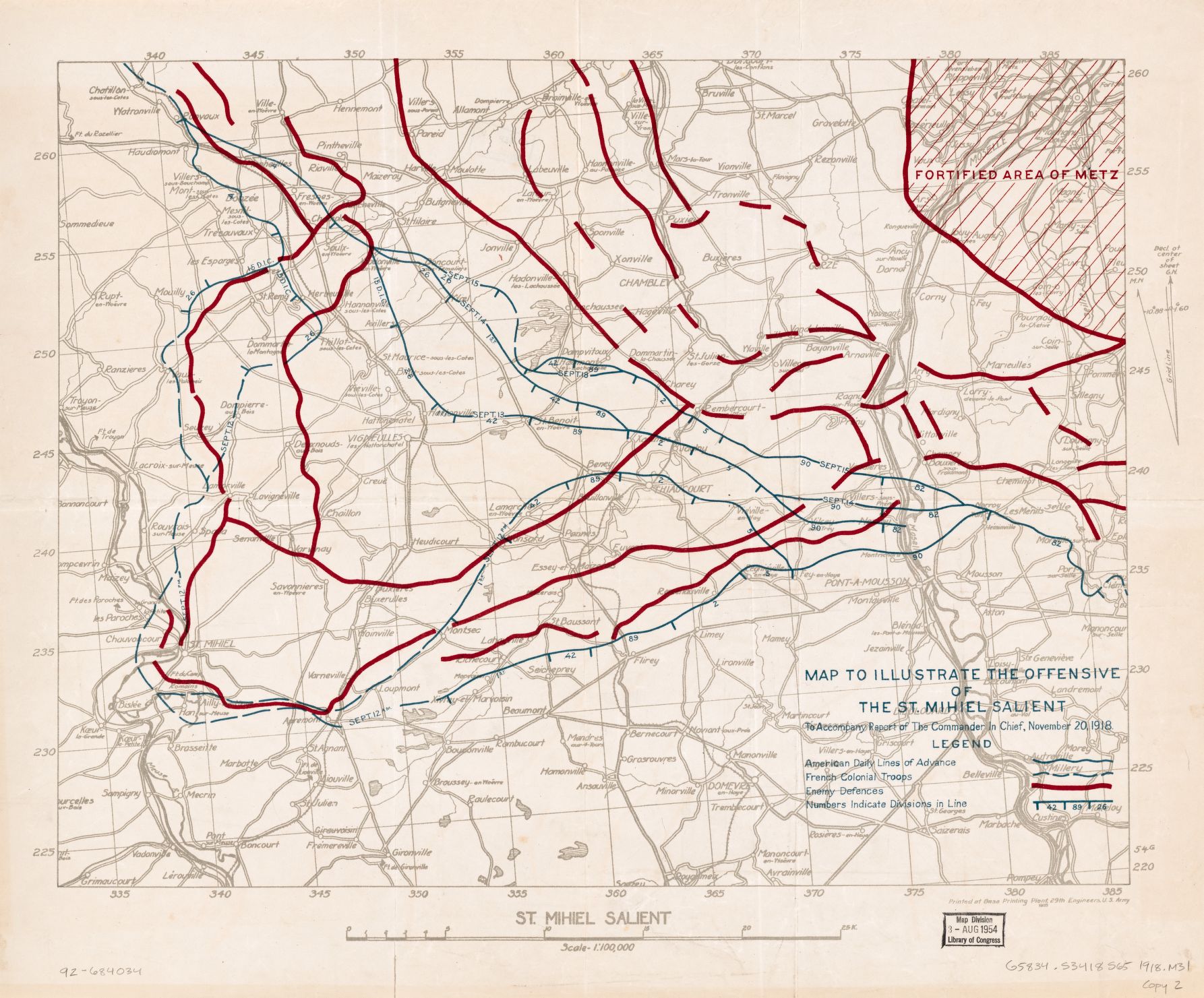
Any access to a pre-WW1 street map of St.-Mihiel?
Hi Mr. Dittmar,
I have a source that I can ask. Let me see what I can do.
Best regards,
Mike
Mr. Dittmar,
I have sent two small maps a friend of mine sent me directly to your email.
Best,
Mike
BFWWP